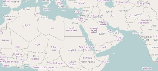
Open Source Interactive Geospatial Mapping jQuery Plugin: jQuery Geo
jQuery Geo is an open source geospatial mapping jQuery plugin from Applied Geographics developed with the intention of making spatial web mapping significantly simpler than it may initially seem.
jQuery Geo provides a streamlined JavaScript API for a large percentage of your online mapping needs. Whether you just want to display a map on a web page as quickly as possible or you are a more advanced GIS user, jQuery Geo can help!

It helps make interacting with various web mapping servers and tile sets such as Open Street Map, WMS and Esri ArcGIS Server as simple as possible.
The primary component of this Geospatial plugin is a single user interface widget that pulls in tiled or dynamic map images from map servers. By default, this component targets Open Street Map tiles but can be easily configured to use other WMS layers or cached tile sets.

Recent Comments