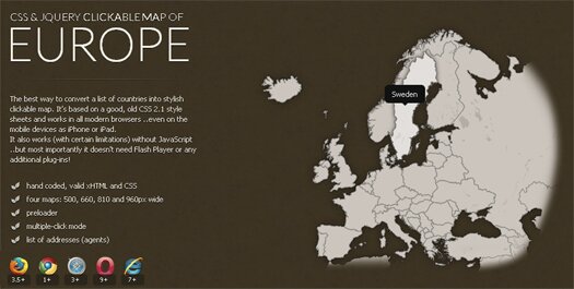
Interactive maps are now all over the web and are being used in many different ways on websites and web applications. Check out why integration of maps is leading the emerging trends in web design and how people are actually using them on their website and web applications.
Today’s post is about a simple jQuery script that allows you to display interactive geographical map of Europe for your website or web application. Governed by plain CSS 2.1 style sheet, it can render geographical map of Europe smoothly in all modern browsers and smart devices like iPhone or iPad.
The script uses simple unordered list to generate click-able map of Europe with (limited) drill down capabilities. You can click a country to view its geographical regions. The regions can be further clicked and selected.

Features
- Hand coded, valid xHTML and CSS
- Four maps: 500, 660, 810 and 960px wide
- Preloader and multiple-click mode
- No Flash Player required!
The script works (with certain limitations) without JavaScript but most importantly it doesn’t need Flash Player or any additional plug-ins! The download package contains editable PSD source files for each map size.


